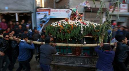
Kirtipur Municipality is part of the Kathmandu District and only 5 Km away from Kathmandu and lies in the hilly region. Geographically, Kirtipur lies in between longitude 27˚ 38’ 30” and 27˚ 41’ 30” E and latitude 85˚ 13’ and 85˚ 19’ N, at altitudes ranging from 1284m to 1524m above mean sea level. The general decline of elevation is from south-west to north-east. The Kathmandu Metropolitan City lies on the northern side, while the Bagmati River separates the Lalitpur District from the Lalitpur Sub-Metropolitan City on the eastern side. Chalnakhel VDC borders Kirtipur Municipality in the south and Macchegaun VDC in the west.
It is only 45 minutes drive from Kathmandu city and many public buses come here from Kathmandu. The bus stops at the Tribhuvan University and from there one should walk up the hill to the town. It is more comfortable to get here by taxi from Kathmandu. Biking from Kathmandu to Kirtipur is another spectacular way to visit Kirtipur and it takes about 1½ hours to get to Kirtipur from Kathmandu. It is a long steep ride up the hill to here. You take the Ring Road Bridge across the Bagmati River and then take the first left onto the Dakshinkali road. After around 1km past the bridge, you turn right onto the road that has two brick gatehouses on either side of the road. You go about 1km up the hill and then take the left fork where the minibusses stop near the university.


0 Comments